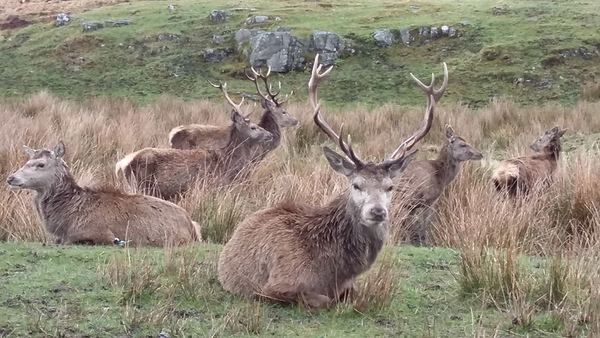
The East Ross Deer Management group encapsulates a land area of circa 20,000 hectares of mixed land types with the predominance being heather moorland, commercial forestry blocks, parcels of farmland both for arable and stock farming use and in the Northern section of the group there are areas of the land which are under crofting tenure including 3 areas of common grazing.
The deer group range is predominantly fenced on its boundaries with stock proof deer fencing and in reality there is little by the way of in or out migration within the wild deer herd. The Eastern boundary follows the B9176 Ardross to Ardgay road. This boundary which extends for approximately 16 miles is formed by a deer fence for almost its entirety with the remaining unfenced area due to be completed in spring 2016.
Much of this fencing excludes the wild deer from free movement into woodland under public and private ownership and also protects agricultural land to the south and North of the group.
The south of the group is bounded by the settlement of Ardross (Population 150) which is 2 miles north of the town of Alness (Population 5800) on the edge of the industrialised Cromarty Firth. Ardross community has some agricultural activities and interests and this area is where the arable farming activity within the group boundaries takes place. The arable land is predominantly protected from the open deer range by deer fencing, some of which directly protects the farmland and some which protects via the forestry blocks that bound the farmland. The community has its own school and modern community centre which acts as the hub of the community activities. Ardross Community Council were consulted as part of the preparation of the deer management plan.
On the eastern fringe of the deer group is the community of Edderton (population 338), which is primarily a crafting and farming community. They are served by their own primary school with senior schooling provided in Tain (4 miles) to the east. The community has a buffer of open farm & moorland which places it out with the actual boundaries of the group (2 miles). Significantly, the physical impacts felt on communities within deer management group areas is mitigated in this instance as the modern boundary deer fence which is in place provides that there is little if any physical impact felt by deer which are managed under the auspices of this plan. Any deer population impacts on this community are minimal and arise from a local population of roe deer and small numbers of red deer which are hefted within the public owned forestry blocks to the north & south of the community.
On the North of the group area is the settlement area of Ardgay (Population 496) which is bounded by interests relating to crafting, farming & forestry. The River Carron a salmon fishing river of some reputation flows. directly into the Kyle of Sutherland to the North of the village. The Kyle of Sutherland is the confluence that links the Dornoch firth with the significant salmon hosting rivers of central Sutherland. These comprise of the Carron, the Shin, the Cassley and the upper and lower Oykel. These rivers have vast ecological, environmental and economic significance to the wider region. The River Oykel being designated as a Specially Protected Area (SPA).
The northern reaches of the group form part of the water catchment area for the river Carron and given that some of the current group members the group have significant interests both ecologically and economically within this river system the considerations of positive deer management as outlined throughout this plan ensures that any potential threats to this ecosystem will be fully considered and reduced or removed.


